California and Nevada - Overview
This site contains one degree quads of California and Nevada. The data are SRTM (Shuttle Radar Topography Mission) elevation data and U. S. Bureau of the Census texture data, combined and ready to use with TruFlite.
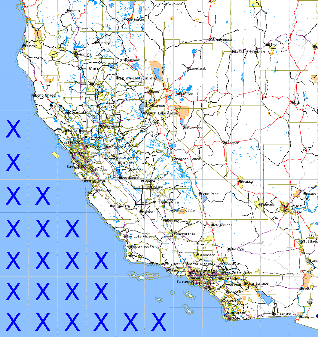
| Click on a 1 by 1 degree quadrangle of the map to zoom in. |
|
|
Shuttle Radar Topography Mission |
|
|
U. S. Census Bureau Tiger Map Server |